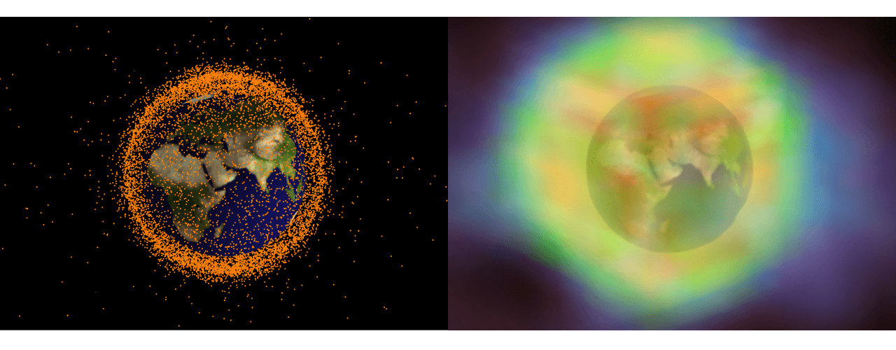
How can you map the orbits of Earth's man-made satellites?
 Wolfram Summer School 2015—William Bensky
Given the real-time positions of satellites, how do you communicate this effectively?
Who does what?
 HUMAN
HUMAN- Find suitable live data from Wolfram|Alpha servers.
- Choose the method to display the positions and the Earth simultaneously on different scales.
- Provide visualizations of the positions.
 COMPUTER
- Import the data and translate to a computable form.
- Compute 3D visualizations of the live data.